

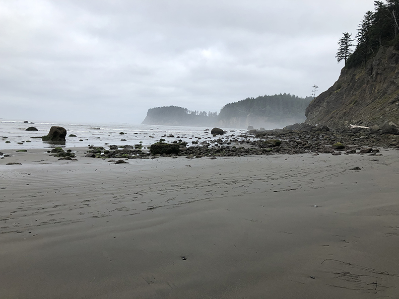
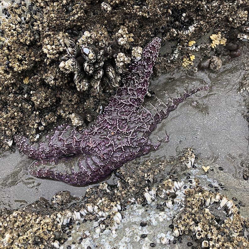
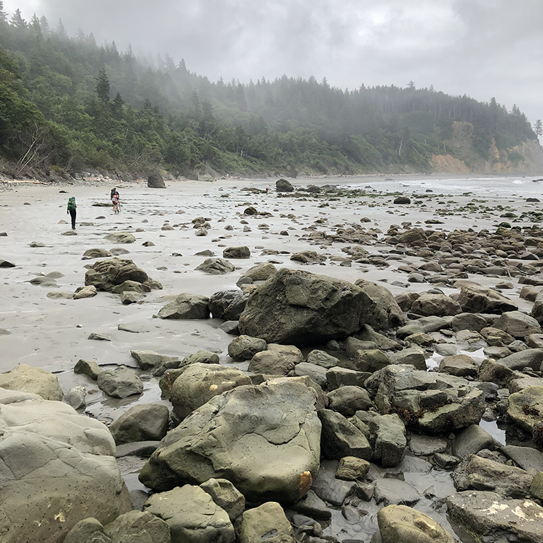
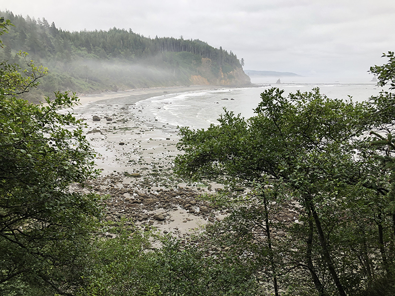
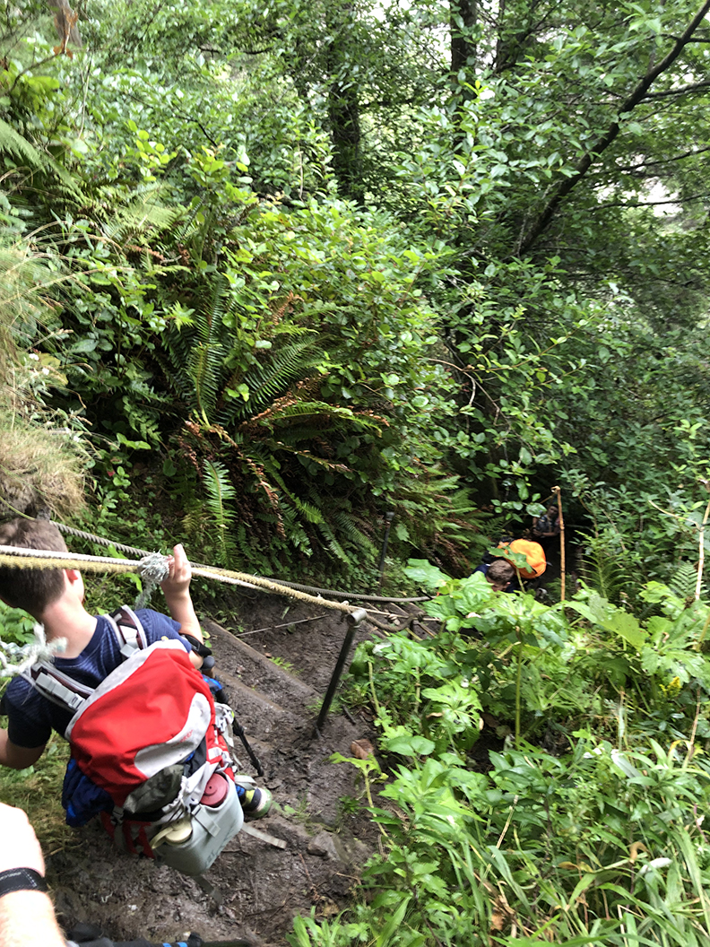
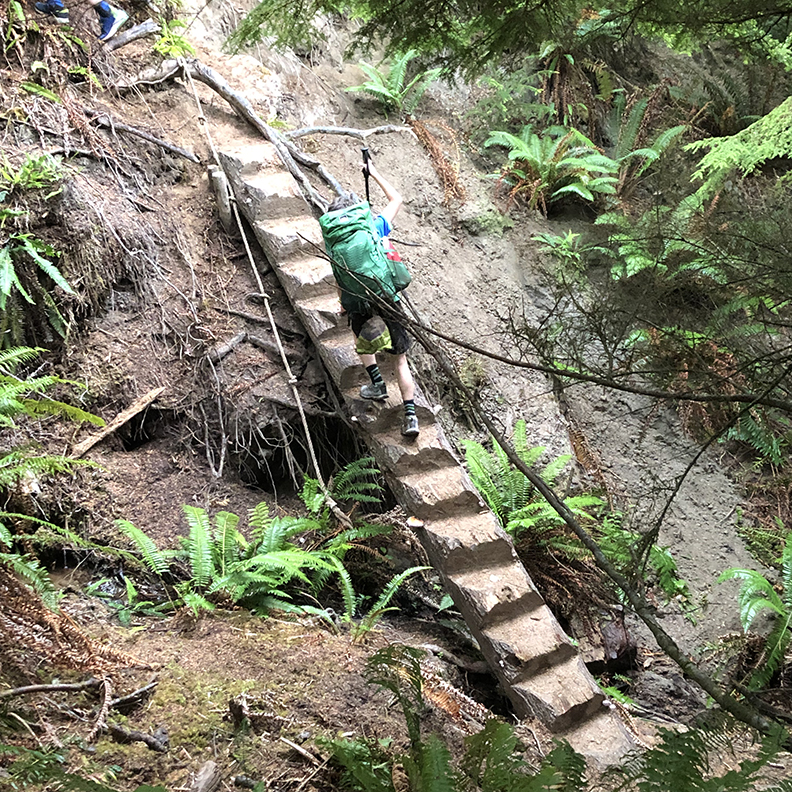
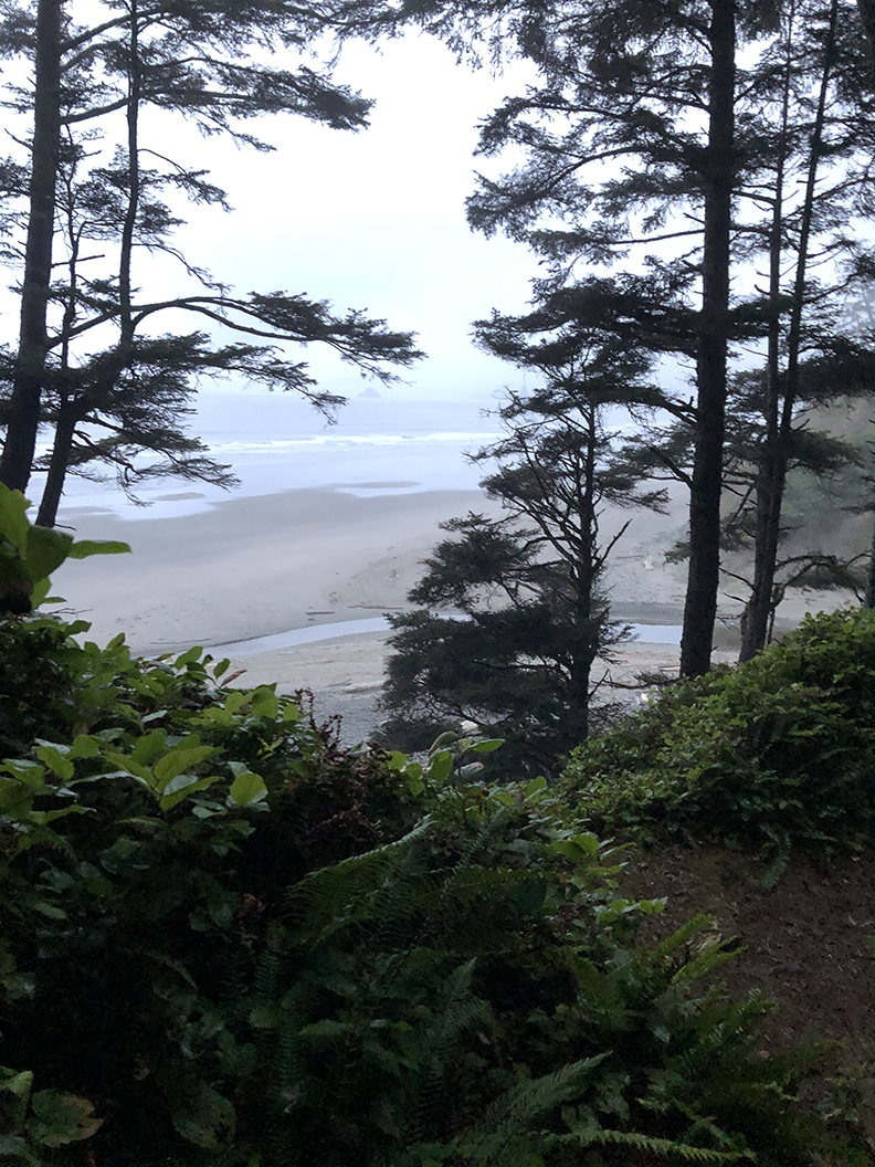
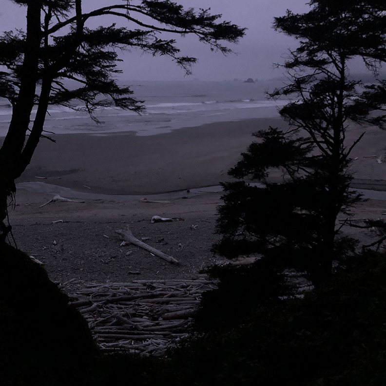
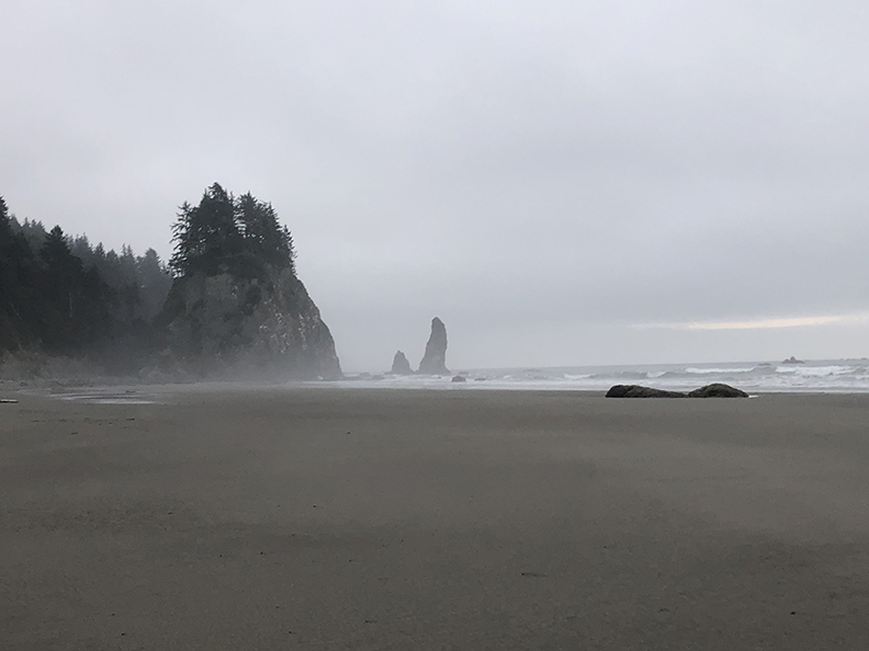
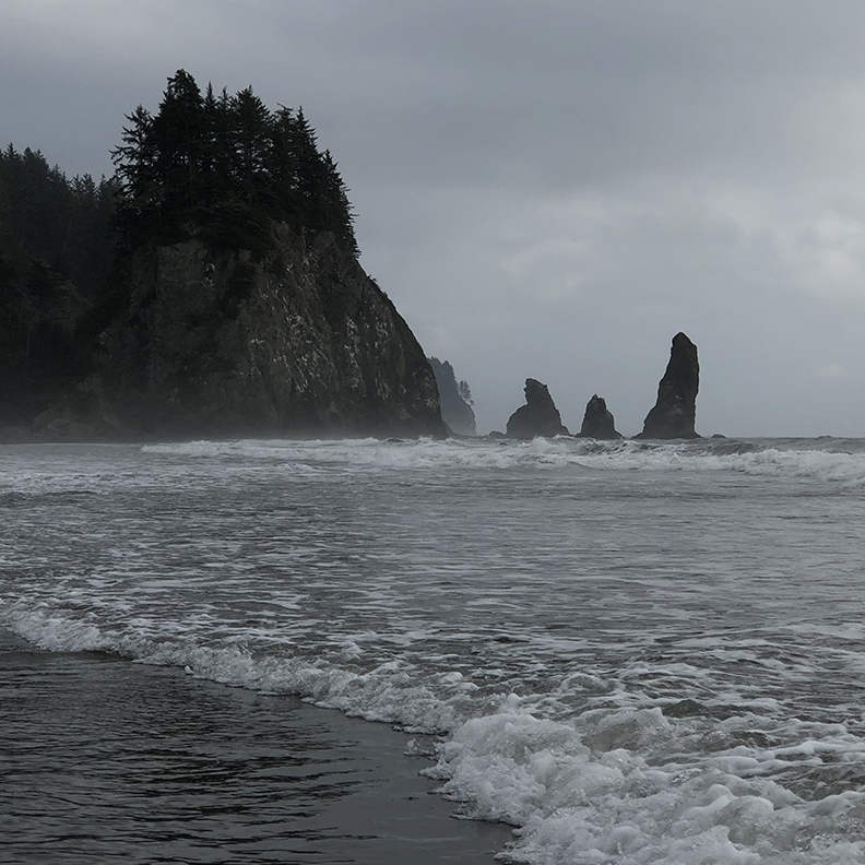
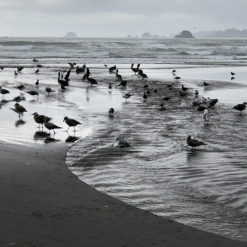
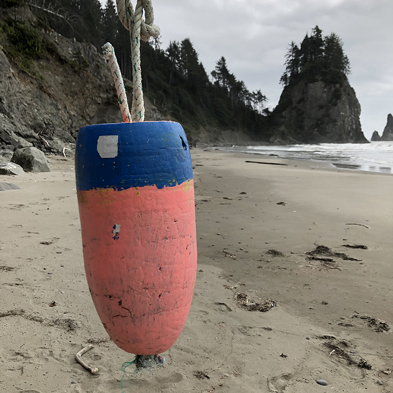
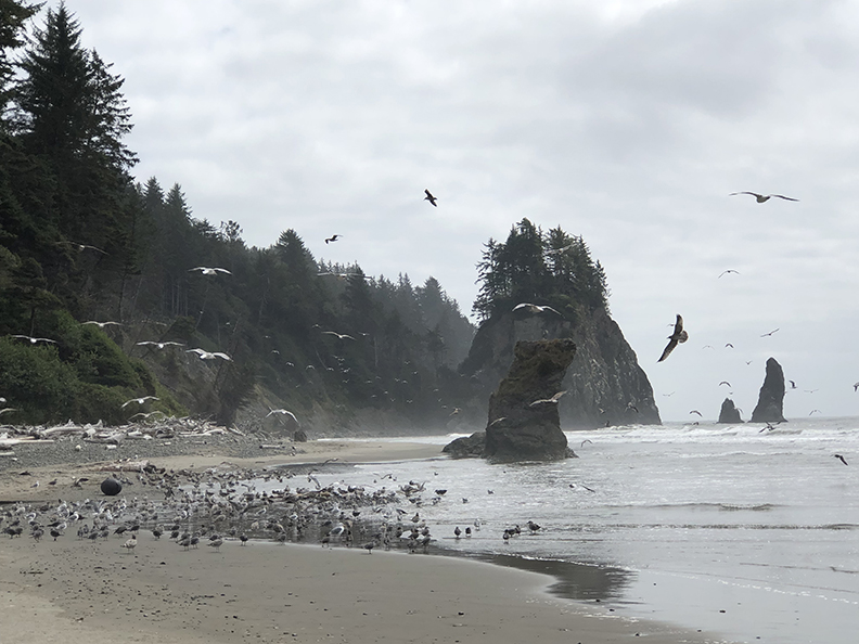
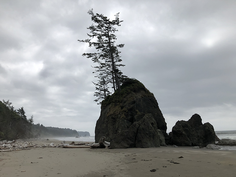
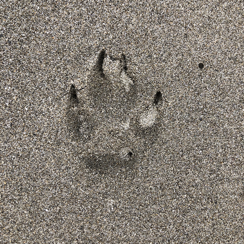
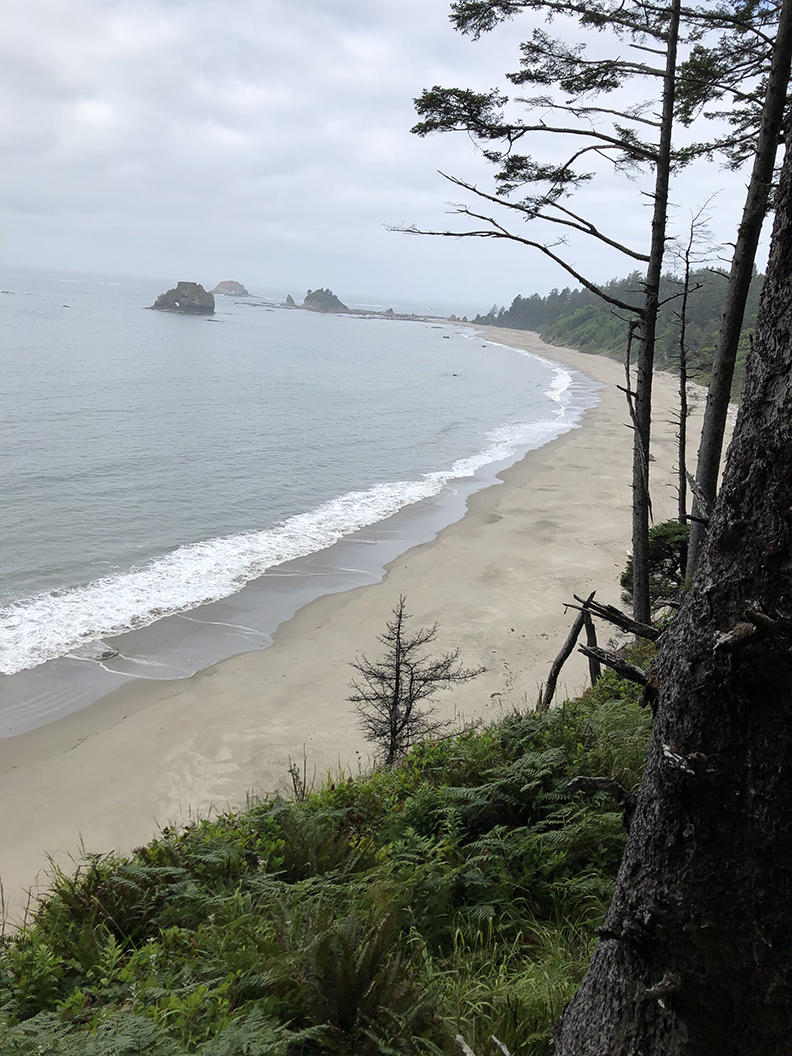
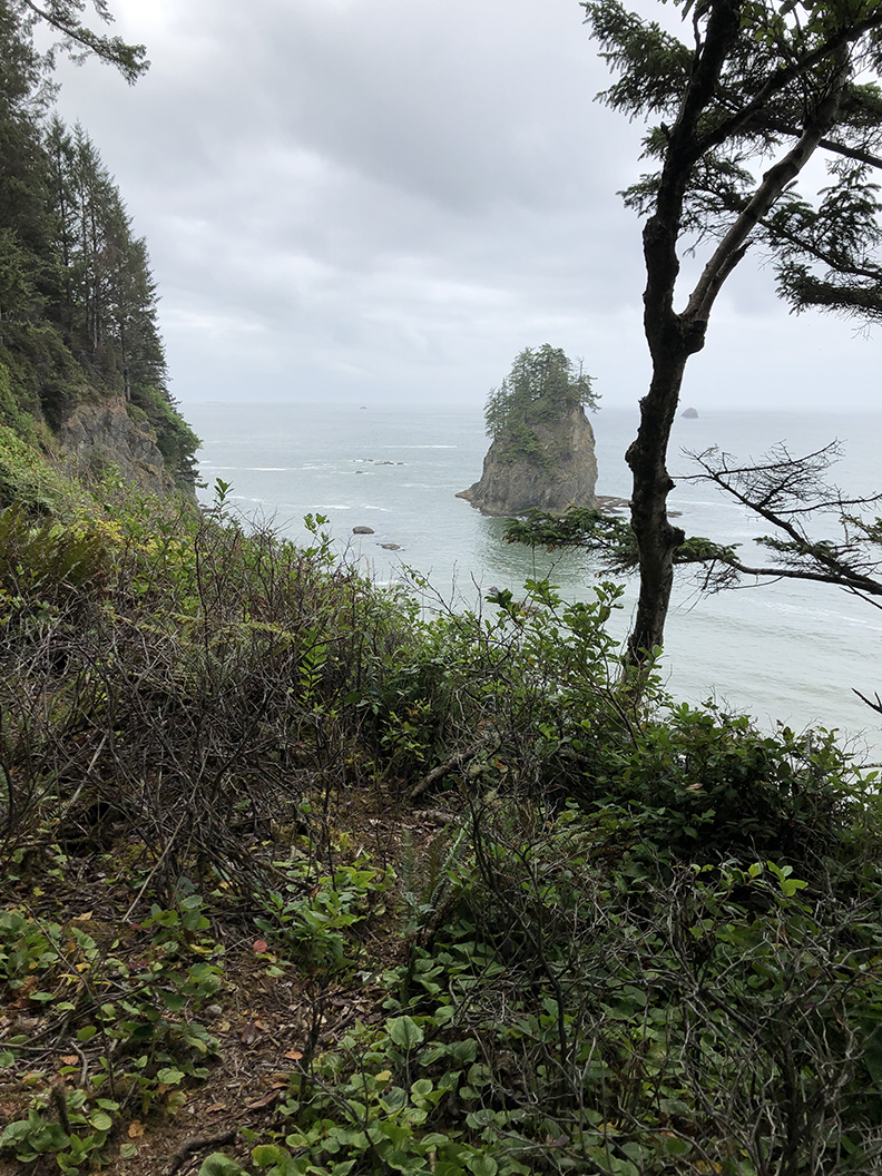
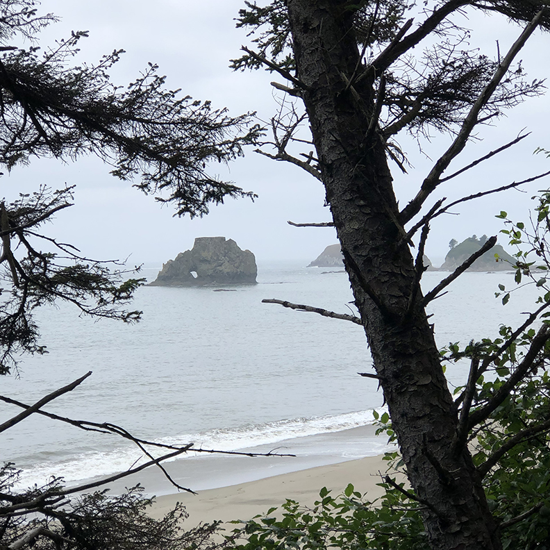
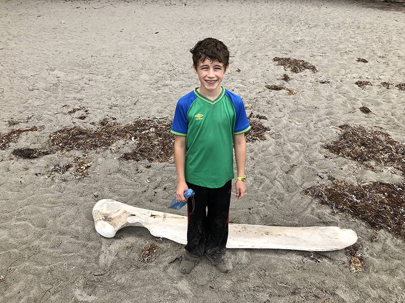
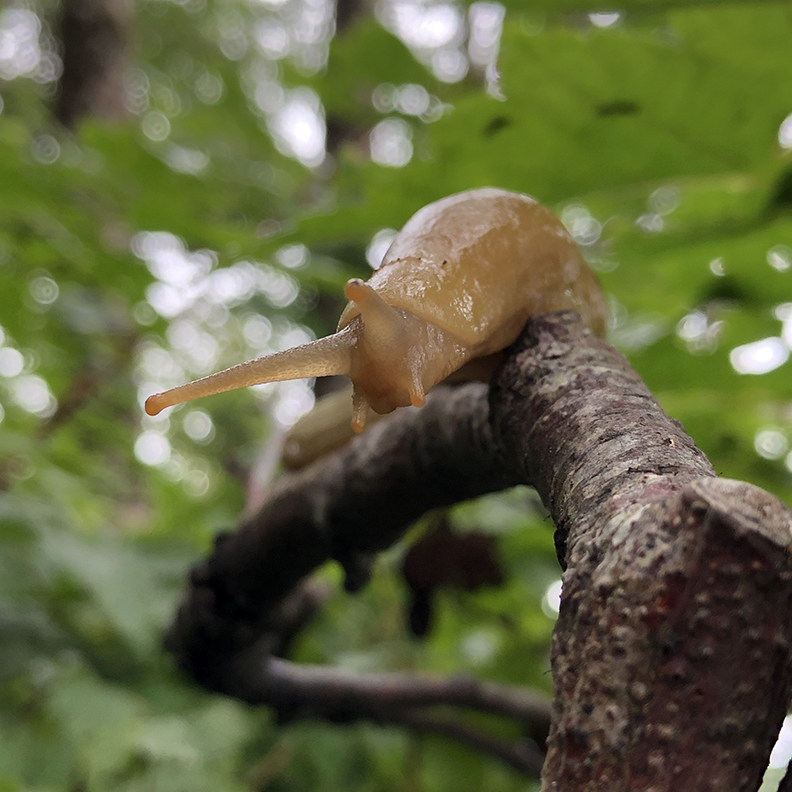
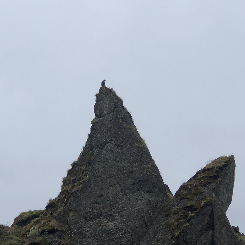
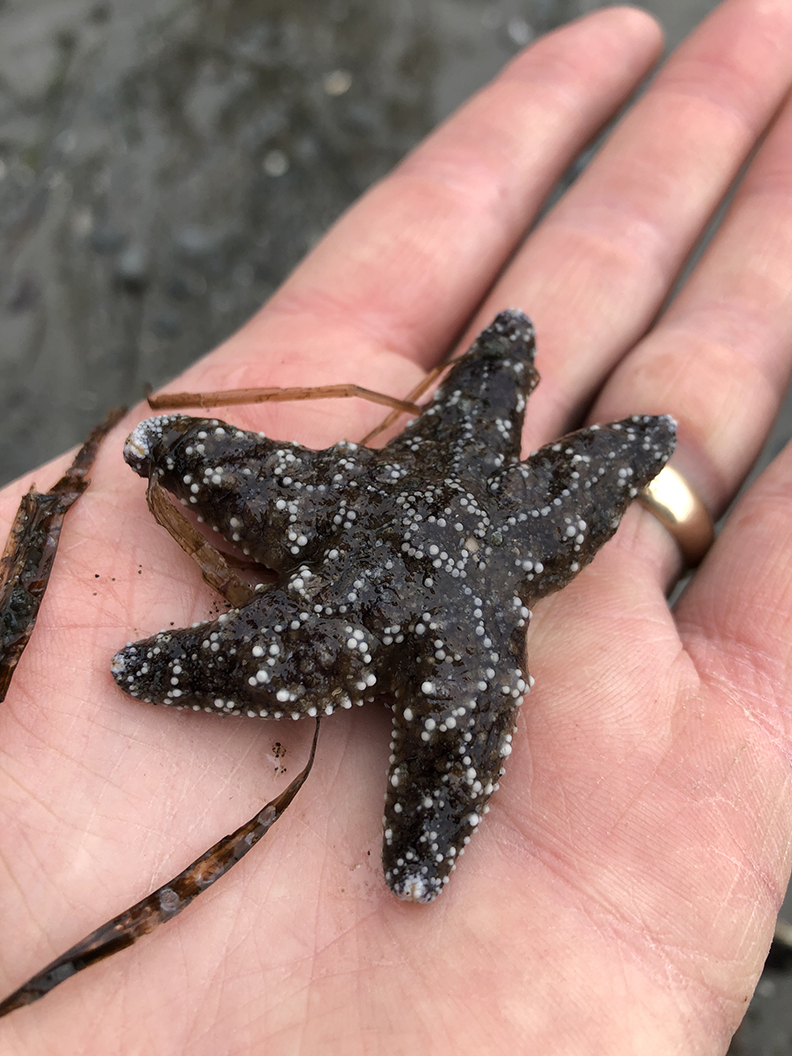
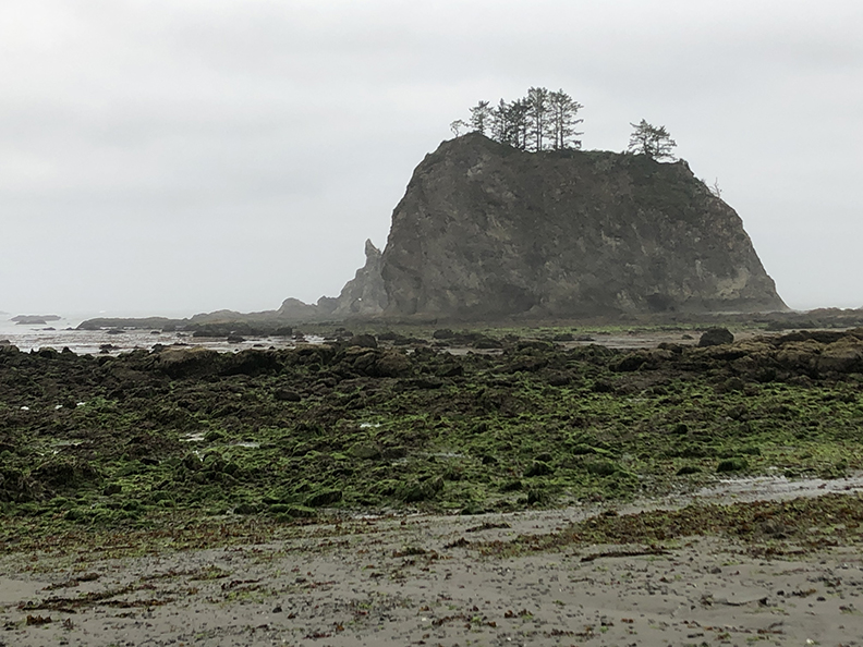
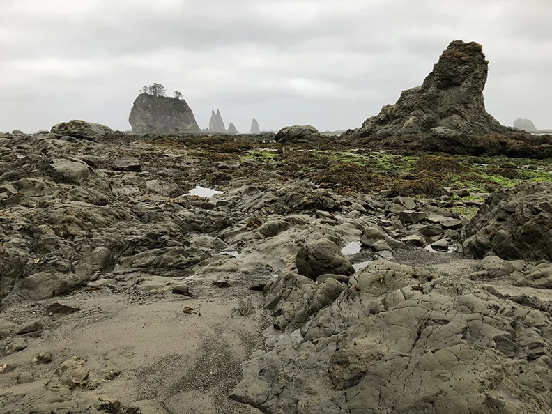
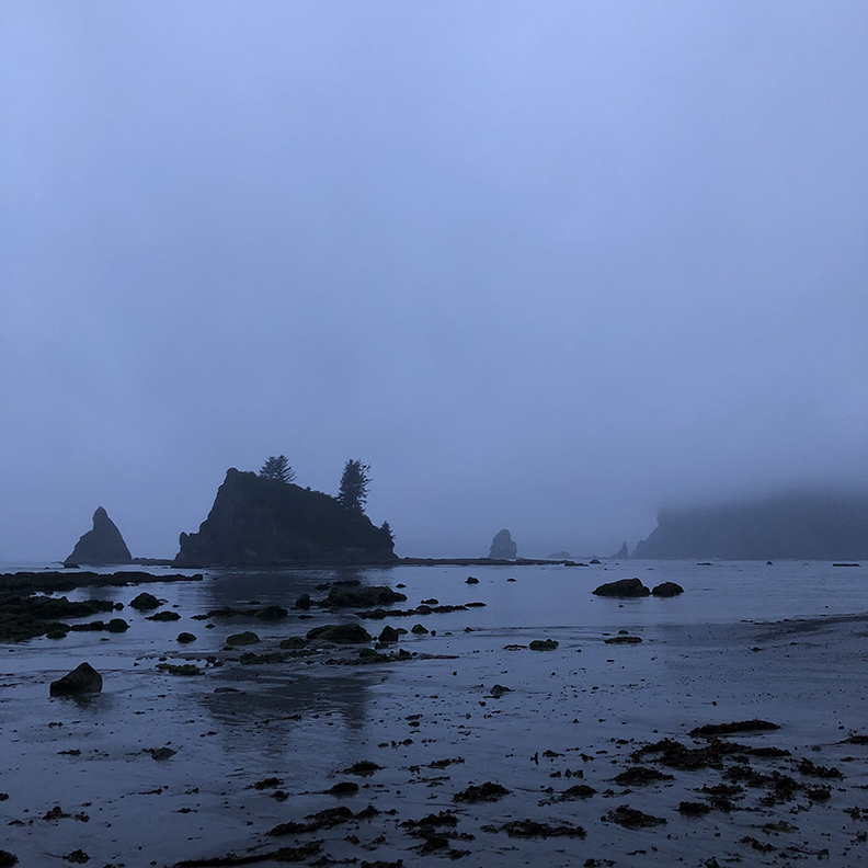
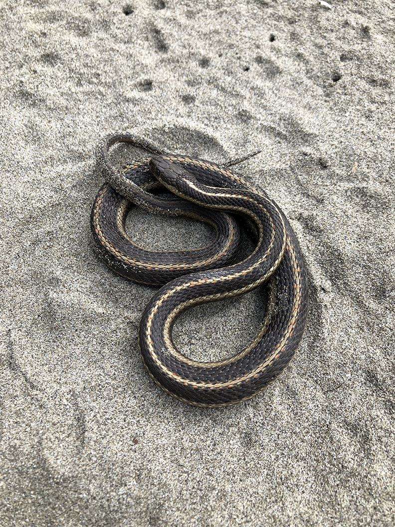
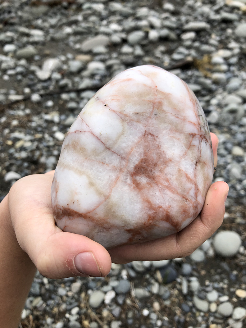
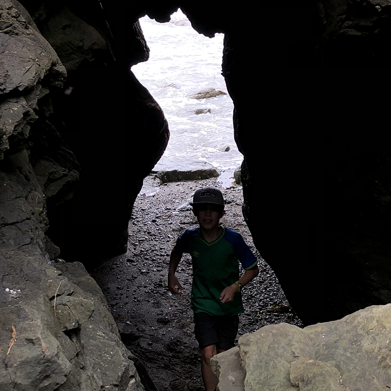
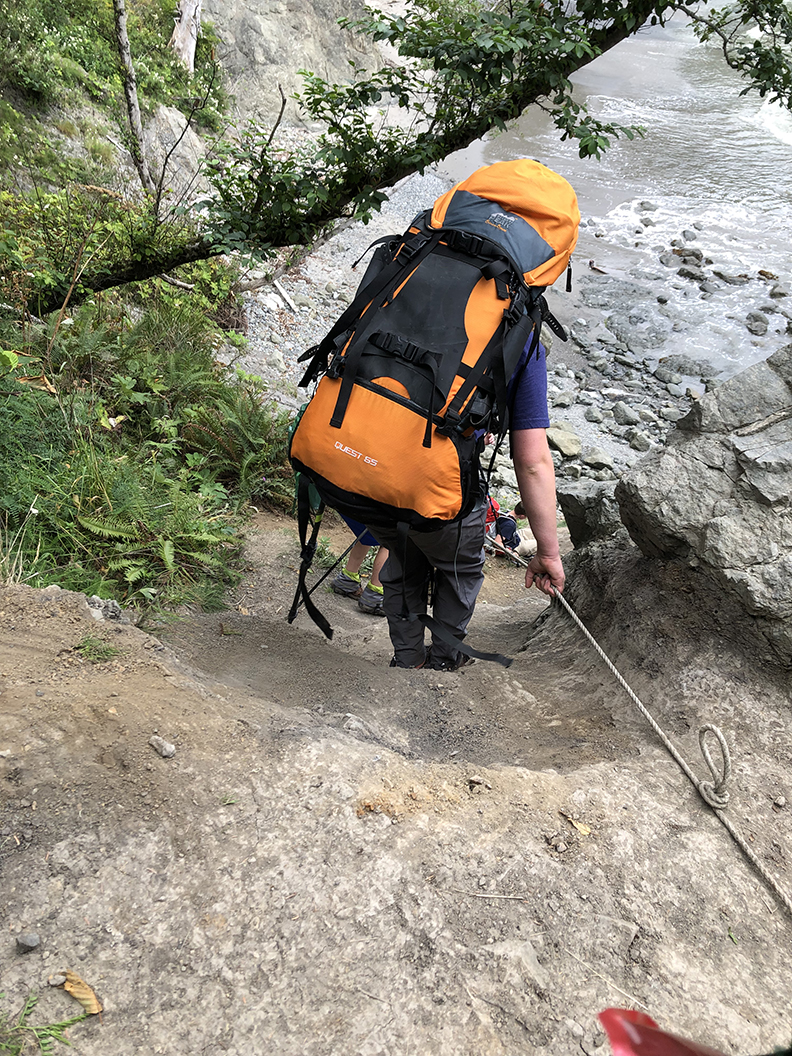
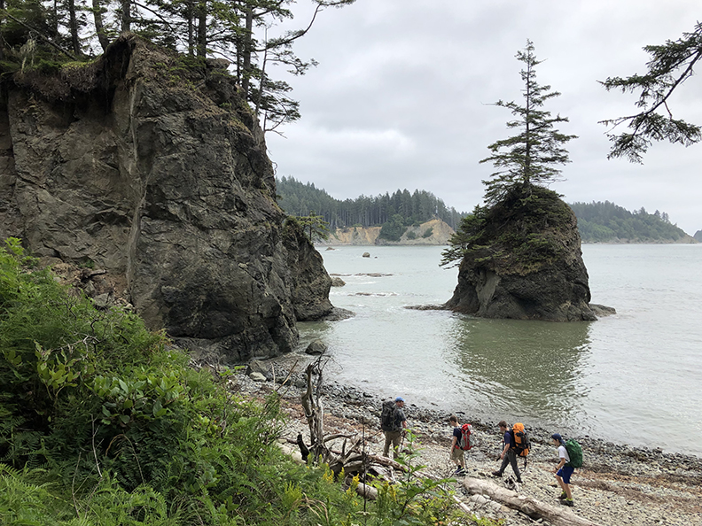
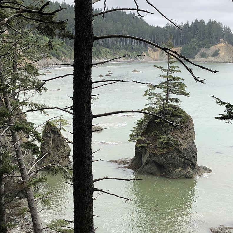
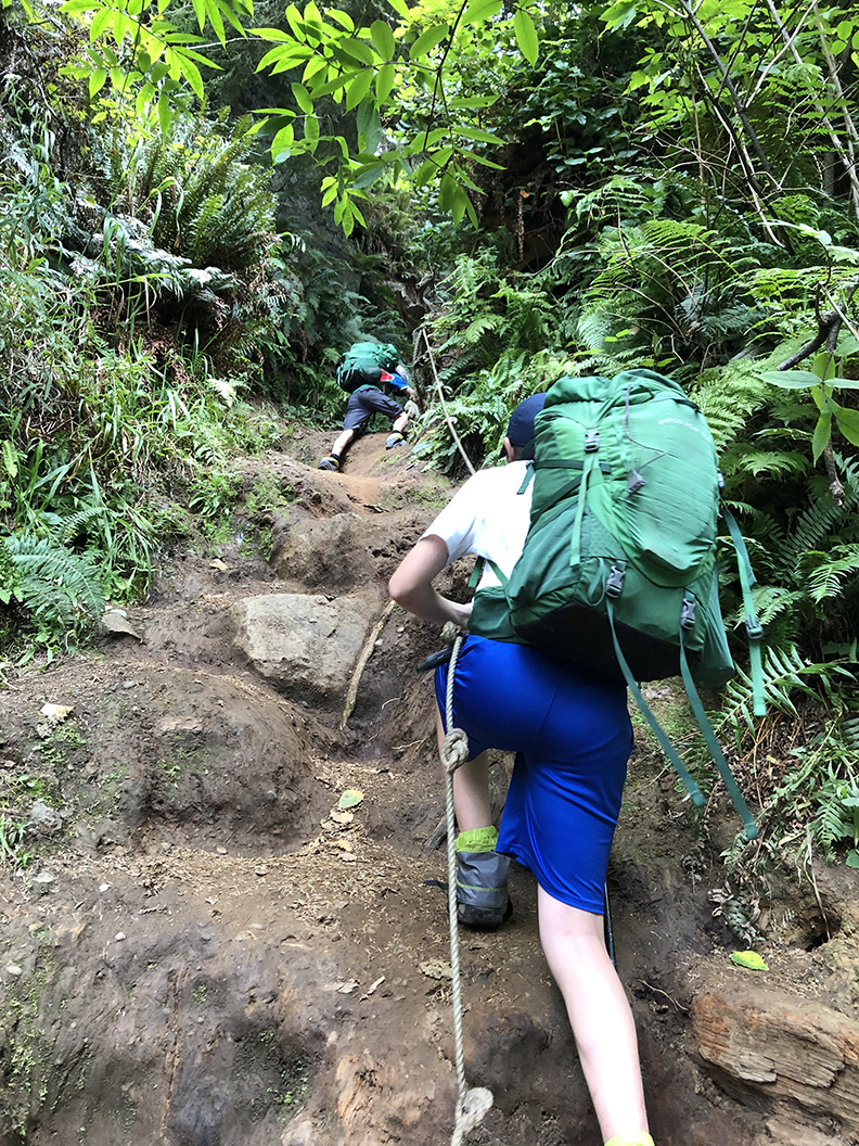
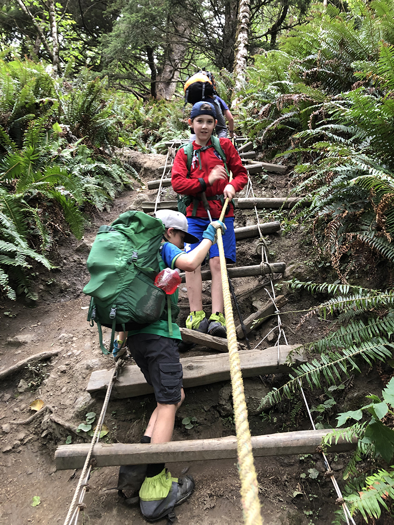
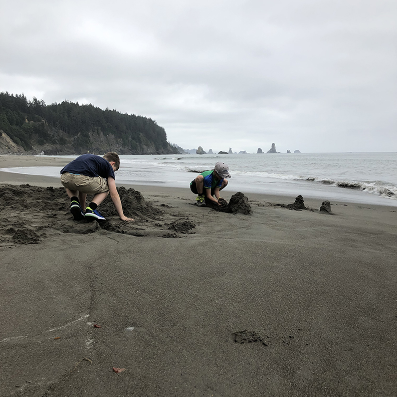
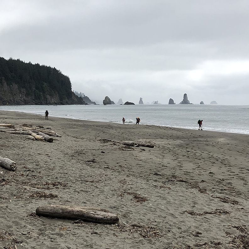
The coastline of the Pacific Northwest is a beautiful and unique ecosystem. The moment you step out of the car you can smell the salt of the sea and feel the heavy ocean air. The trees grow tall and in areas block out all the light creating a shadowy canopy. The forest near the coast is thick with dense ferns and salal bushes 6 to 7 feet tall, as far as you can see. The only possible way to pass through is the trail you are on. Most of the trail isn’t overly steep, but there are spots where the only way to get past the big bluffs is to climb straight up. There are ropes from washed up fishing nets and sometimes ladders built into the cliff. It makes it feel like a true adventure. Like Indiana Jones on his way to some ancient temple in the jungle. This dense rainforest trek is interrupted by stunning vistas of beaches and rows of sea stack rocks that are home to sea birds, eagles and tide pools. There are long stretches of beach hiking where you see what the surf has brought in from the sea. There are always a broad range of floats broken off of the industrial fishing nets in the Pacific. Some of the camp sites along the way have trees decorated with these floats like the walls of a quant beach house. The freshly swept sand and low tides shows the tracks of passing wildlife. We saw the wanderings of raccoon, coyote, deer, squirrel and pelicans.
TRAIL INFORMATION
Date we hiked: August 15-17
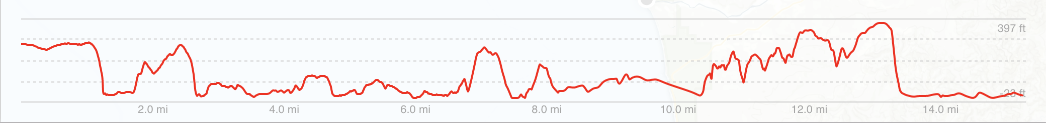
Distance: 17 miles point to point
Elevation gain: 2,004 over the whole trail. The highest point is 250 feet.
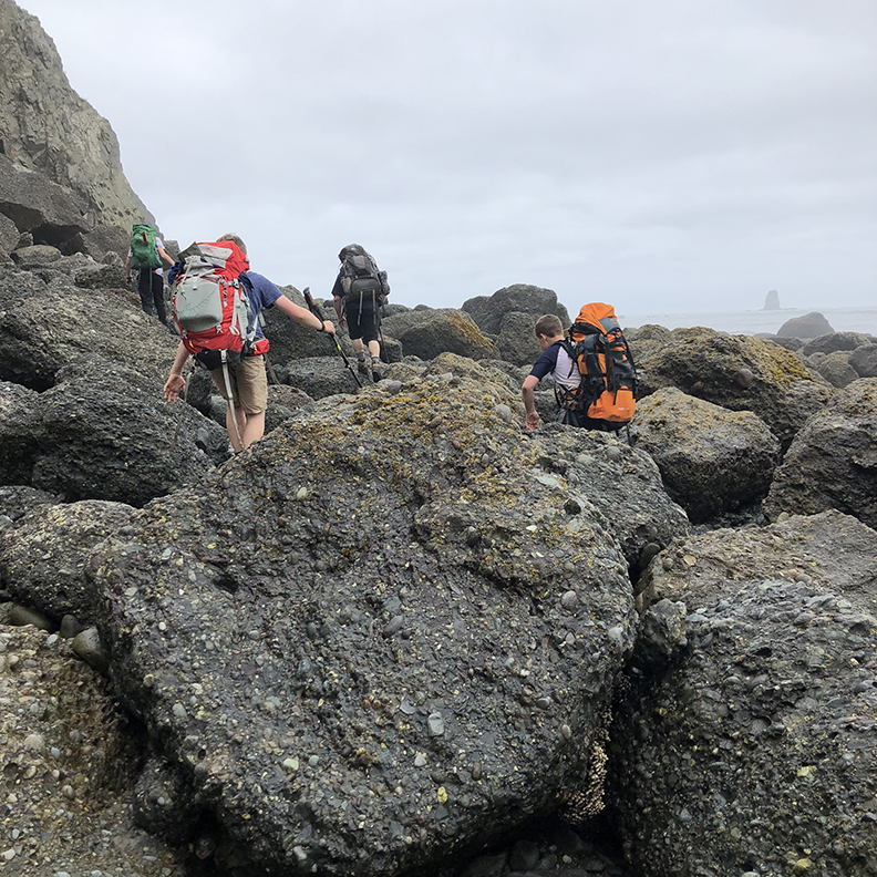
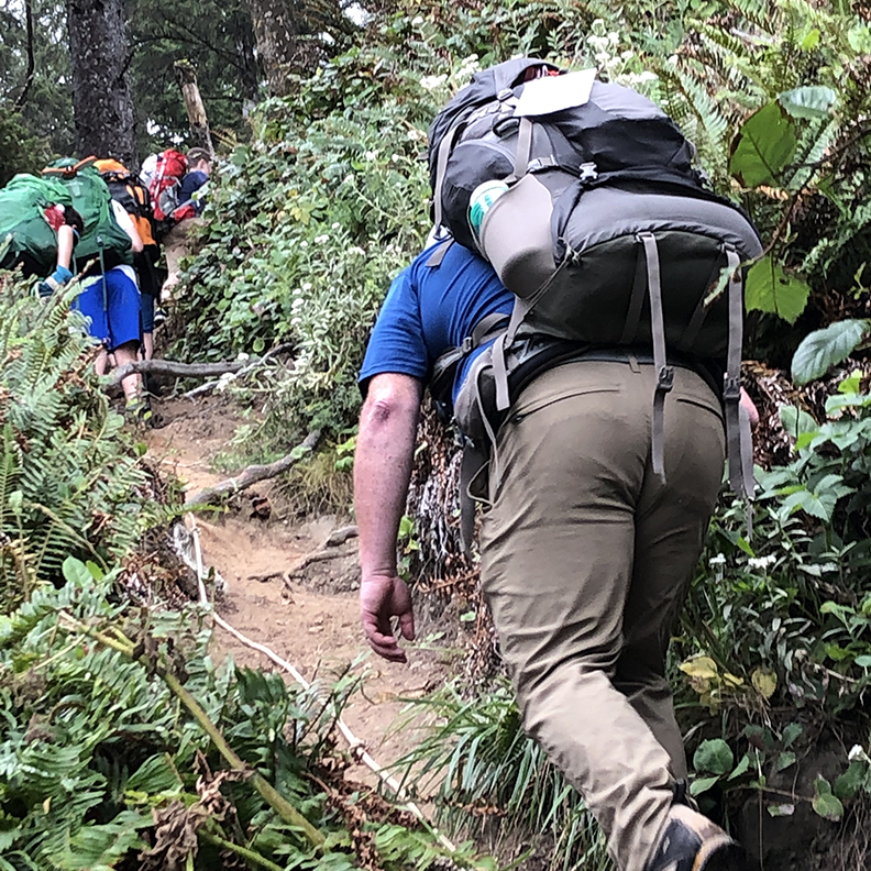
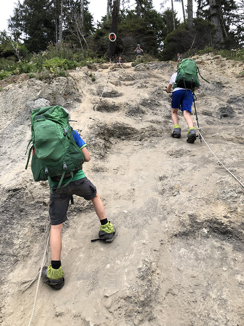
Difficulty: Moderate with several Rope ladders, and rock scrambles.
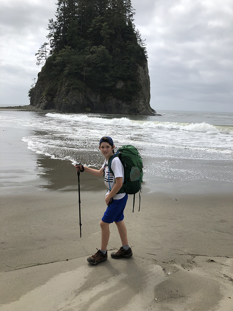
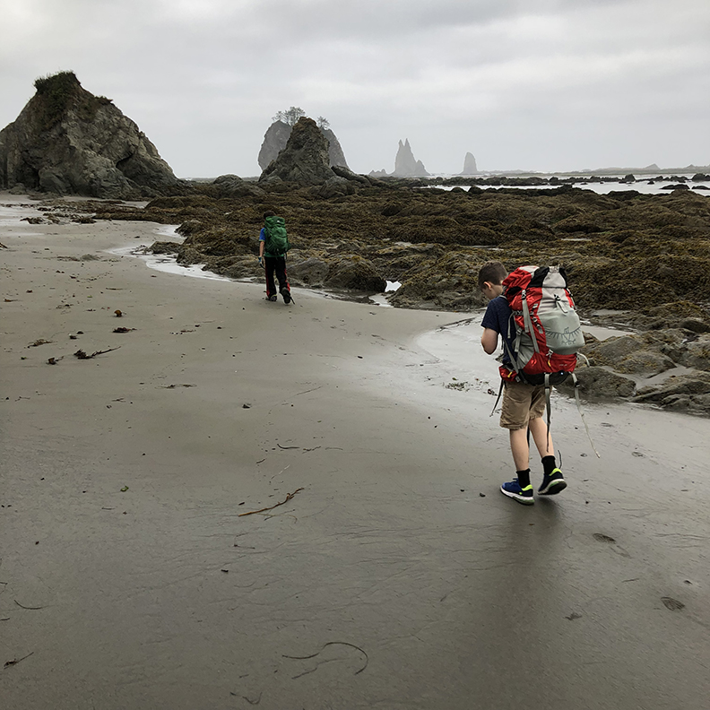
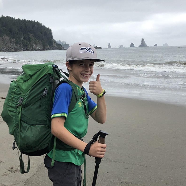
Kid friendly: I took my 12 and 9 year old boys on this hike. It was very challenging to be sure, but they rose to the challenge when they felt the thrill of real adventure. The rope ladders and rock scrambles were my biggest concern. They were very challenging, but they boys did well.
Dogs: Not allowed on this trail
Permits: You do need to get permits for this trip from the ranger station. There are quotas for each camp area and you will have a designated area for each night you stay. Not a reserved site, mind you. But there will be an area there for you. You can find out more about the permits here.
Parking passes: None
Edible plants: This trail is lined with salal berries that were in season while we were there.
Other considerations: Bear cans are required (you can get one at the ranger station). Take a current tide chart! You will need it in passing certain areas and for determining safe camp sites.
Gear: Trekking poles were a must on this one for the rock scrambles and river fords. Work gloves for the rope ladders (I was skeptical of these but very glad we took them). Bear can is required. Water shoes for river fords. Water filter (even with filtering there was a high amount of discoloration in the available creek water and using water treatment tablets wouldn’t be suggest…) I took gaiters for my boots to keep sand out of my socks and would highly suggest doing the same.
There are sections of this hike that must be passed at low tide. If you miss low tide you have to wait about 8 hours for the next low tide. There’s no way around this, so make sure you take a tide chart! In retrospect we would probably do this one from south to north if we could have a do over. The most tide sensitive parts were close to Oil City so leaving that close to the end left us with little flexibility on time. We ended up waking up at 5 AM the last day to cover 4 miles before that days low tide at 9:30 AM. It was a bit of a rush and didn’t leave time for breaks or to enjoy views. But that was just because of the way the tides landed during our trip. I suggest checking on the tides during the window you will be there and then decide if you want to go north to south or south to north.
We started out at the Third beach trail head (not Beach 3. That’s a different beach. Very confusing…) We left a car at the Oil City trail head with the plan to shuttle ourselves back up to Third beach at the end. Lots of people will do part of this trail as an out and back to avoid the shuttling, but since we had 2 adults and 2 cars we did it as a point to point hike. Third beach to Toleak point is a common out and back. I would definitely suggest that if you are short on time or two cars.

It’s only a little over a mile from the trail head to Third beach. That’s where the first set of ropes and ladders comes in. You can see from the elevation map exactly where the big climbs and descents are. Each time you drop out of the rainforest and onto the beach is amazing. It never gets old!
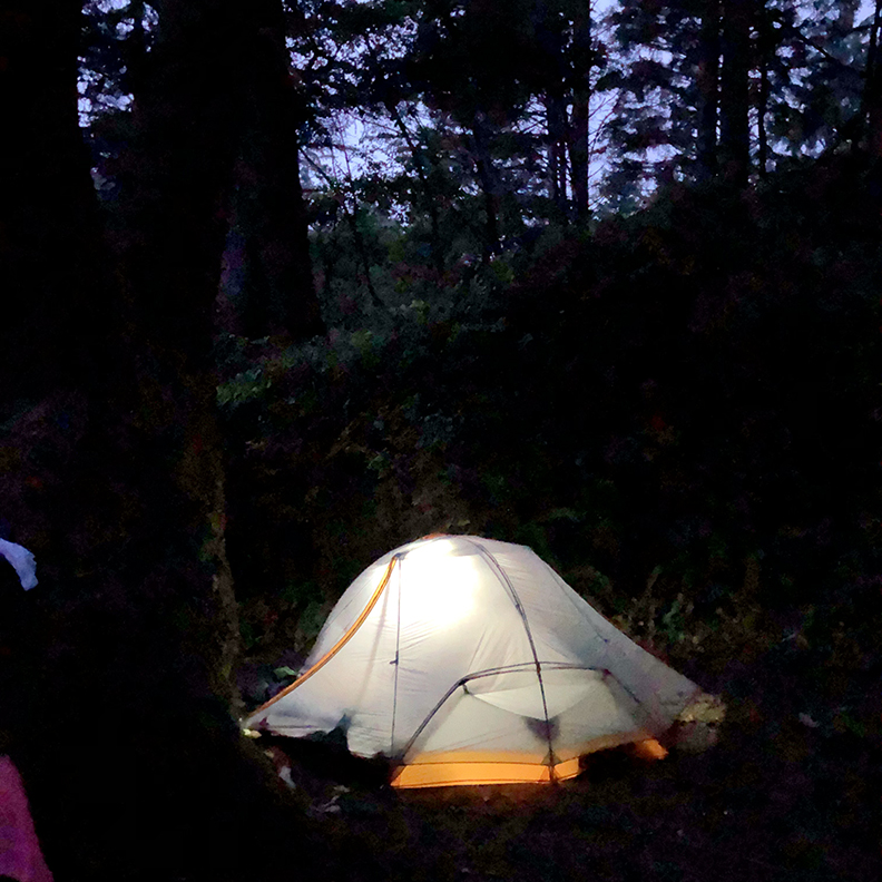
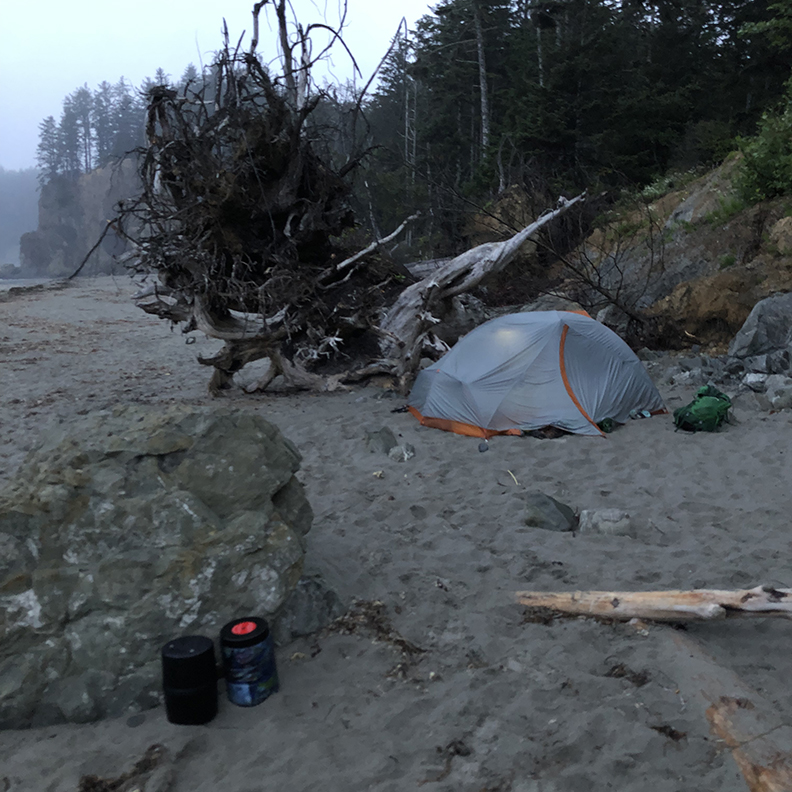
We camped at the first night just south of Scott’s bluff. There are several campsite there and a water source at Scott creek.
That brings me to the water sources… There are several creeks and small rivers that you will be crossing and can filter water from. While we were there the water sources were discolored and even after filtering it looked a lot like ginger ale. It made me a little nervous, but tasted fine, and nobody suffered any ill effects from drinking it. One note on filtering water near the beach. Make sure you go far enough up stream to avoid getting water that may be tainted with sea water that can wash up stream with high tides.
We arrived at low tide, but we could see a clear line of where that last high tide had been. We made sure to camp in an area out of the splash zone.

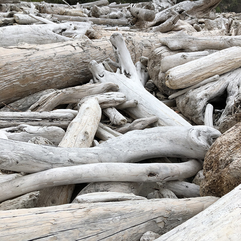
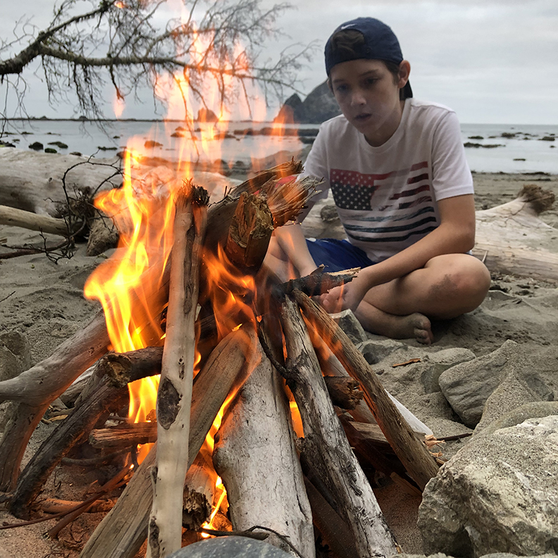
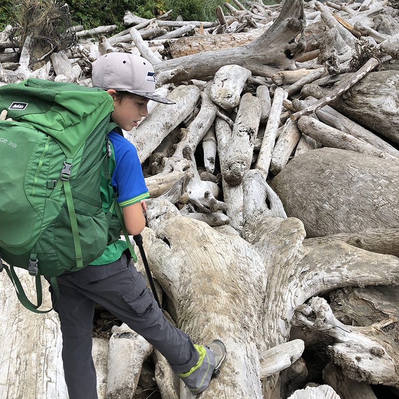
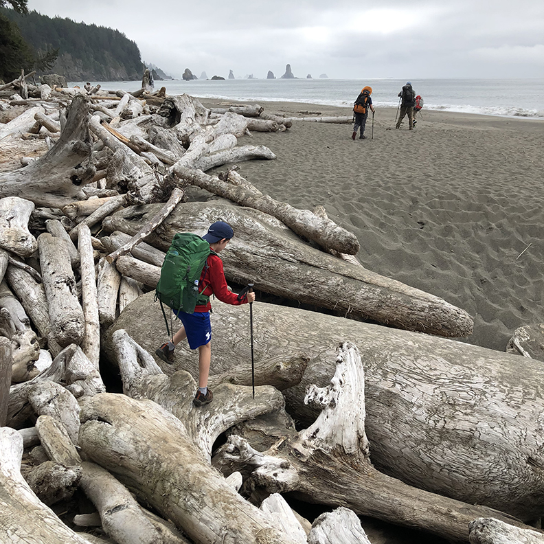
Another bonus to this trail is the plentiful firewood on the beach. You are allowed to burn driftwood. Obviously, pick the dry stuff. It made our evening camps very cozy on the beach.

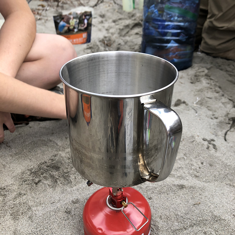
In order to save on weight and space (those bear cans aren’t huge…) we used almost exclusively freeze dried meals. This worked out great for us. It’s also nice to only have to wash a spoon at the end of a meal :)

Day 2 was our long day. We did around 8 miles to end the day at Mosquito creek. There was a fair amount of climbing over bluffs and even a couple small creek ford: Falls creek and Goodman creek. We took the opportunity to eat lunch after crossing Goodman creek and let our feet dry out. We did bring flip flops or water shoes for water crossings to avoid having wet feet during the rest of the trips.
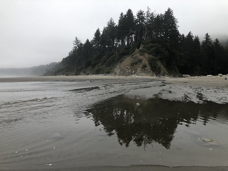
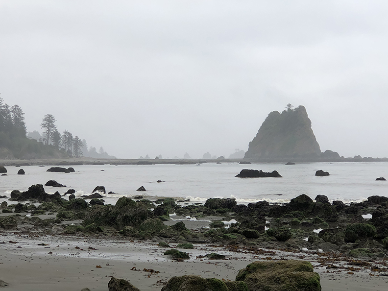
The stretch of the trail passes Toleak point which is a big draw for a lot of hikers. It’s at almost exactly 6 miles in. There are several campsites in the area, including some off the beach in the woods that are quite nice. Most of these sites are clearly marked with hanging fishing floats and bouys. Toleak point is amazing, and it’s very clear to see why people make this spot a destination! Coming around the corner at Toleak you can see a lot of sea stack rocks and amazing bluffs going all the way down to Hoh head near the Hoh river.

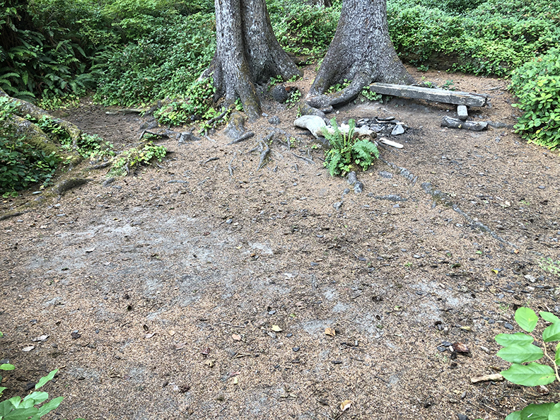
The second half of the day was mostly beach hiking with the exception of one overland stretch. We ended the day at Mosquito creek, camping up at the top of the bluff overlooking the beach. It was a great site, big enough for 3-4 tents. There was a nice firepit and even some flat benches there. There were some other sites around and even a pit toilet. Mosquito creek was a beautiful spot that (thankfully) did not live up to its name.

Day 3 was a shorter than day 2, but required us to be on the trail at 6:20 am to hit the tides at the right time. No time for breaks or lollygagging! Our tight pace wasn’t helped out by us marching into a very angry bunch of hornets that made clear their displeasure with us being there. Most of us sustain a sting or two or 5. The overland section of this leg was about 3 miles before dropping back down onto the beach. About a mile later is Diamond Rock. This is the area we needed to hit at low tide. There are two outcroppings that are only accessible at low tide. Even at low tide they are a challenge! The smooth sand of the beach is interrupted by large boulder fields. We tried to stay up closer to the dry rocks as the ones that spend a lot of time underwater tend to be covered in slippery seaweed. It is a pretty challenging stretch and requires making your own route through the rocks. It’s slow going but it’s the last major obstacle of the trail. After that it’s a little bit more beach hiking and then less than a mile along the beautiful Hoh river to the trail head.

In summary, this was a fabulous trip that my boys and I will surely remember and talk about for years to come. A fabulous mix of sand, sights, and challenges. I would do it again in a heart beat!

Let me know if you’ve done this trail, or if you have others you’d suggest. I’m always looking for new trials to explore.